Mapping the Dixon Wreck
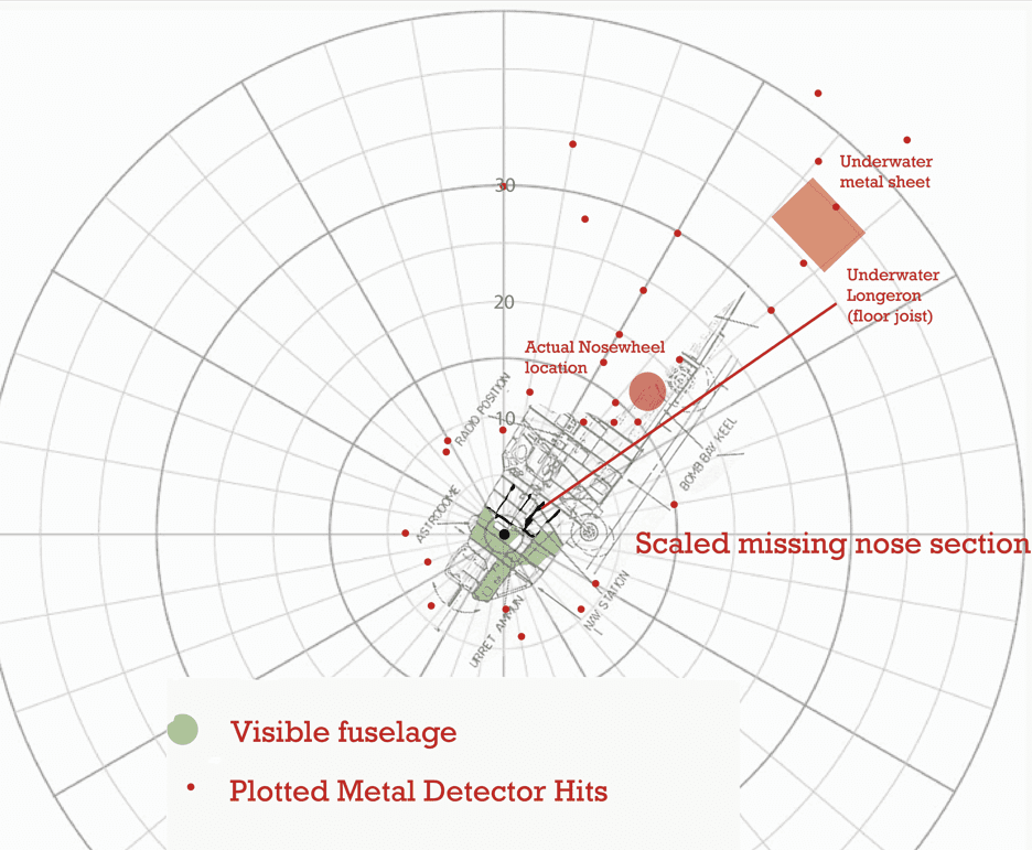
In 2016 Ted, Chris and Tallulah Mikita accomplished a cursory mapping of the nose section during a monthly low tide, which uncovered the mud which encapsulated the nose. This was a difficult process, because most of the wreck was submerged even below the mud. Approximately only 15% of it remained visible, and the visible part was rendered mostly unrecognizable due to the ravages of time and weather.
- Metal detect the area and plan temporary flags
- Cartesian or Polar coordinates?
The difficulty of walking in mud that would easily pull your boots off required measuring the location of flags by the easiest single method available using a polar coordinate system and estimating angle and distance of measurements from a known center.

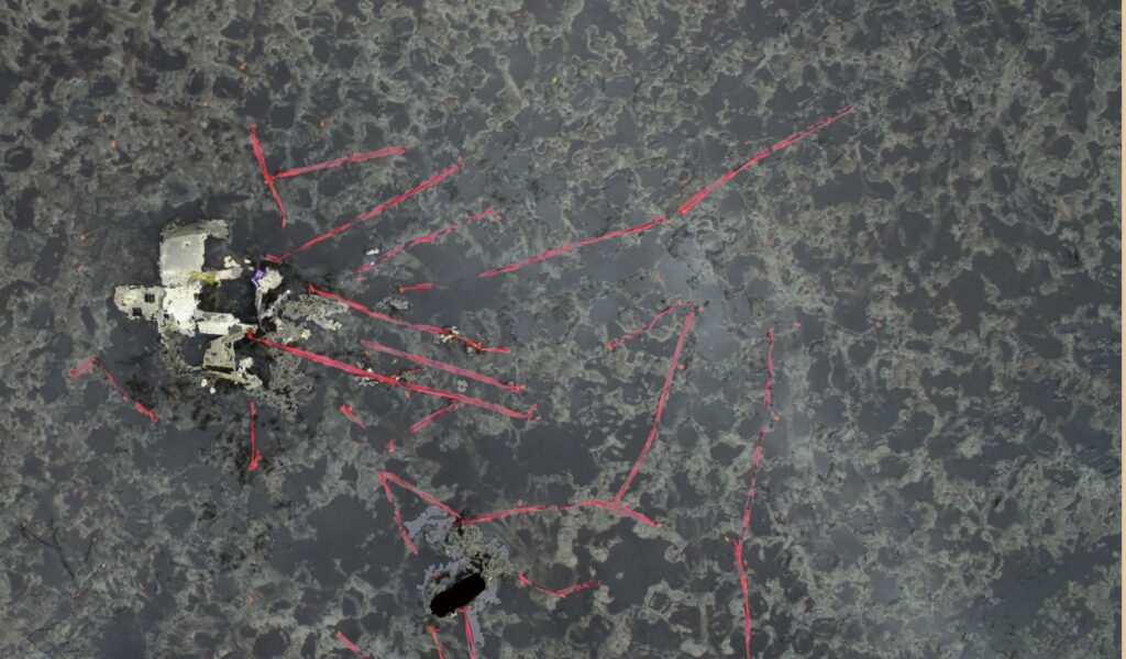
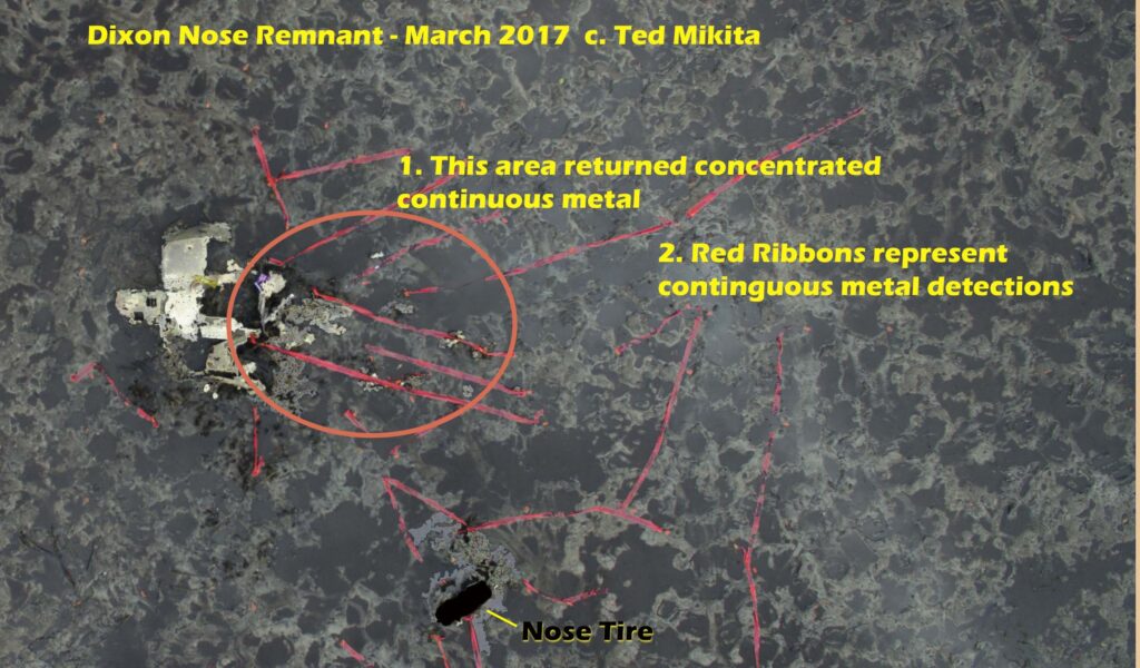
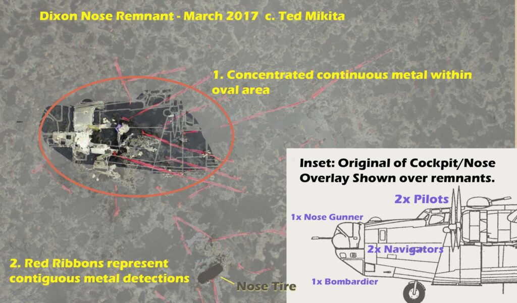
Ultimately unsatisfied with this method, Ted and Tallulah returned in 2017 at monthly low tide with a photographic drone. After another metal detection and using a combination of flags and red ribbons they launched a drone and took overhead hi-resolution photos of the debris field. This worked very well. They were later able to overlay scaled drawings of the B-24 nose to show in a virtual sense what was buried in the mud.
BTW, there are photos at this location of the nose splashing in on the day of the crash.


